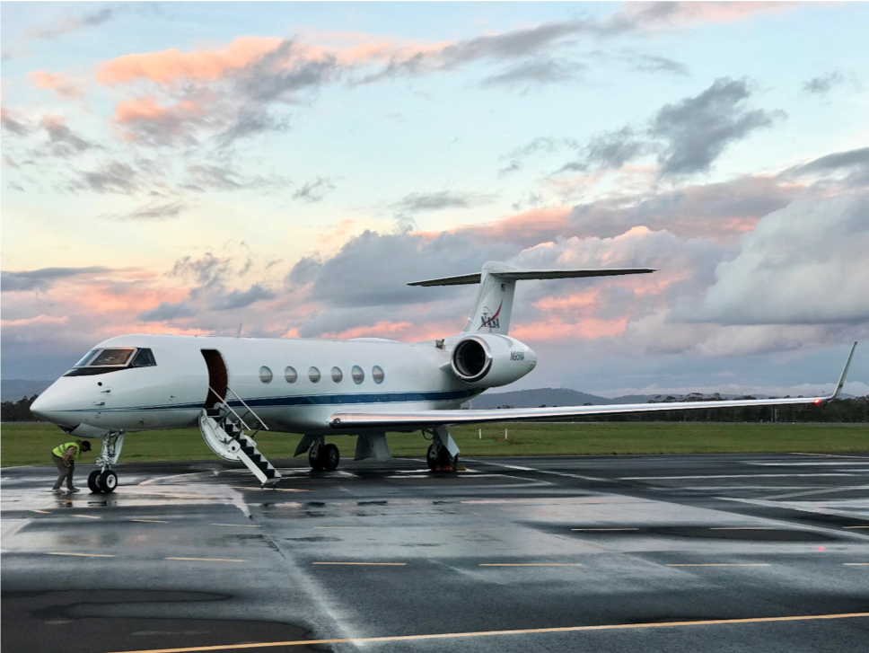
(The NASA Gulfstream V (tail N95) on the apron at Hobart International Airport, Tasmania, Australia)
(The NASA Gulfstream V (tail N95) on the apron at Hobart International Airport, Tasmania, Australia)
Final year of collecting airborne gravity data with NASA OIB
The Operation IceBridge (OIB) mission is in it’s final year, and so far the team, aircraft, and instruments are all working like clockwork, something which might be expected after 10 years of nearly continuous deployments and tests spanning from Alaska to Greenland and down to Antarctica.
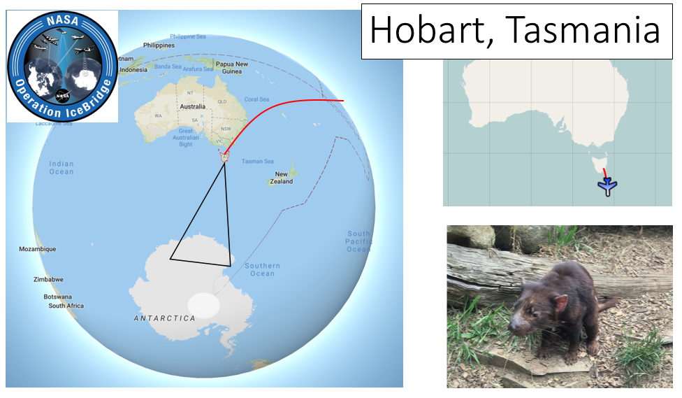
For the firs time OIB will be based out of Tasmania, allowing the Gulfstream V (GV) to reach crucial, yet mostly unmapped, glaciers and ice shelves in East Antarctica.
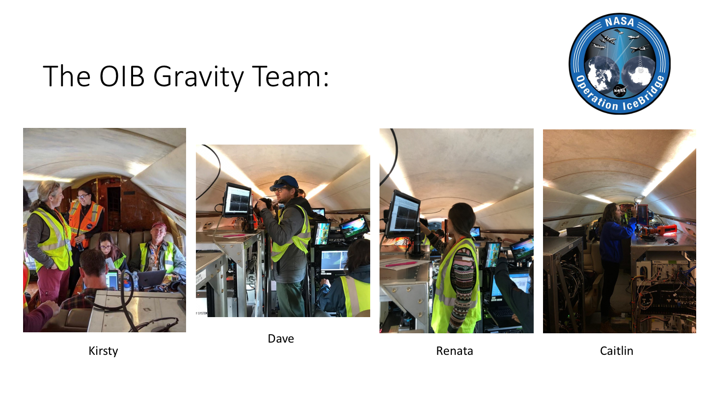
The LDEO Gravity team, which will install and support the operations of two separate airborne gravimeters on the GV include Principle Investigator (PI, the science lead) Kirsty Tinto, myself (Dave Porter, leading hardware and meter operation), Renata Constantino (postdoc working on gravity inversions for bathymetry beneath ice shelves), and Caitlin Locke (leading the processing and quality control).
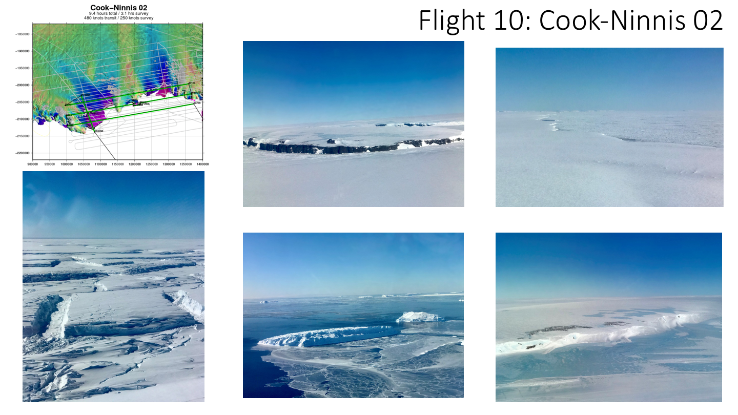
Missions lasted up to 10 hours, the safe endurance time for the weight and passenger numbers we require. Flying high and fast (> 40,000 ft), the transit to Antarctica takes at least 2.5 hours. This means allows for up to 5 hours of survey time depending on the sector, which is a considerable amount of new data. Shown in one example of a flight track, plotted over the speed of glacier ice (rainbow colors). This particular mission, Cook-Ninnis, includes flying over its namesake ice shelves and glaciers, collecting crucial gravity and radar data for use in bathymetry inversions.
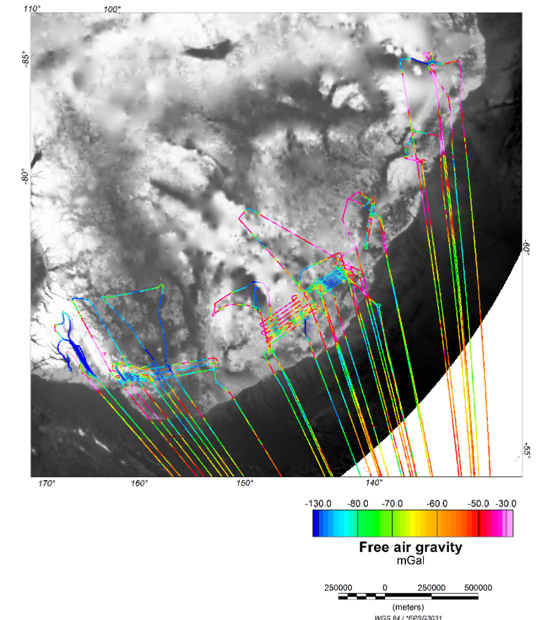
At the end of the 5+ weeks of surveying whenever weather and crew rest allowed, this is all the new gravity data collected aboard the GV. Note that we run the gravimeters during transit, since ‘high-and-fast’ gravity data is still useful to many communities. Looking at this map and all the new data collected, it’s clear that this final OIB season was a huge success.